The Great Depression, War, and the 'Mother Road'
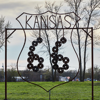
Roadside art in Baxter Springs, one of only two small towns (Galena is the other) in the ever-so-brief (just 11-mile) segment of historic U.S. Route 66 that's in Kansas.
This folk-art style Route 66 sign from the state of Kansas is an example of how Route 66 imagery is adapted and utilized by many types of artists and art forms.
The Dust Bowl, a devastating drought induced mass crop failure in the Plains states during the 1930s, caused thousands of workers to head west to seek reprieve from poverty and the loss of their homes. The fertile farmlands of California had not been severely affected, and the new direct route from the drought ravaged plains towards the promise of a better future made Route 66 a mass migration trail and offered the hope of escape for many.
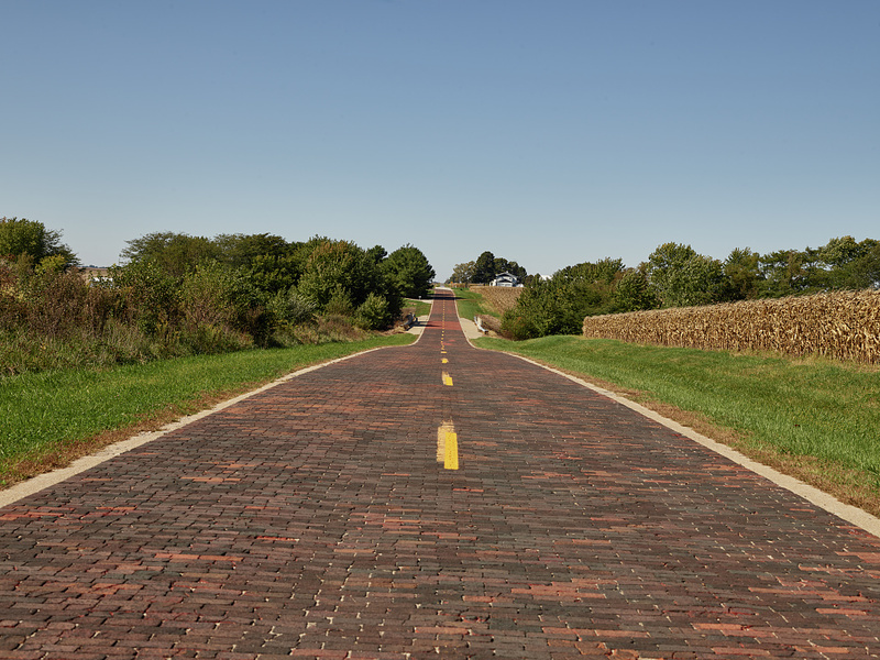
This stretch of hand-laid brick, completed as part of the once-grand U.S. Route 66 westward from Chicago to California, is preserved near the central-Illinois town of Auburn.
Above is a beautiful and iconic image of rural America: Route 66 paved with brick and stretching toward the unknown and possibly toward a better life. This part of 66 lies near the beginning of the journey, in the state of Illinois.
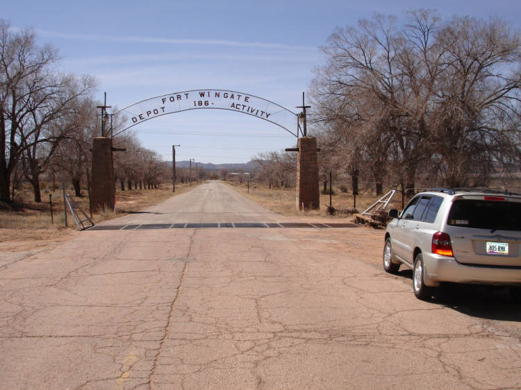
In addition, the flat and mild-weathered aspects of 66 that made it popular for trucking became an incredible asset for the war effort during WW II. The U.S. military wished to move more of its training and operations west to take advantage of drier weather and the unique geography not available in the middle of the country. Route 66 was the main facilitator of this movement, and between 1941 and 1945 Route 66 was the path of the single largest wartime mobilization of manpower in U.S. history. The ability to get U.S. troops quickly and safely to bases that offered the ability for consistent and varied training no doubt played a role in their later ability to secure an Allied victory in the war.